River Perhonjoki
PERHONJOKI HIKING TRAIL (13.6 KM/DIRECTION)
Difficult trail – Long sections of the trail are rocky and have tree roots.
Easy trail – Vessi campfire site, Äijänsaari hut and campfire site, Haapakoski hut and campfire site, Lahnakoski and Vitsari canoe launching sites
Medium difficulty trail – Isokoski hut and campfire site
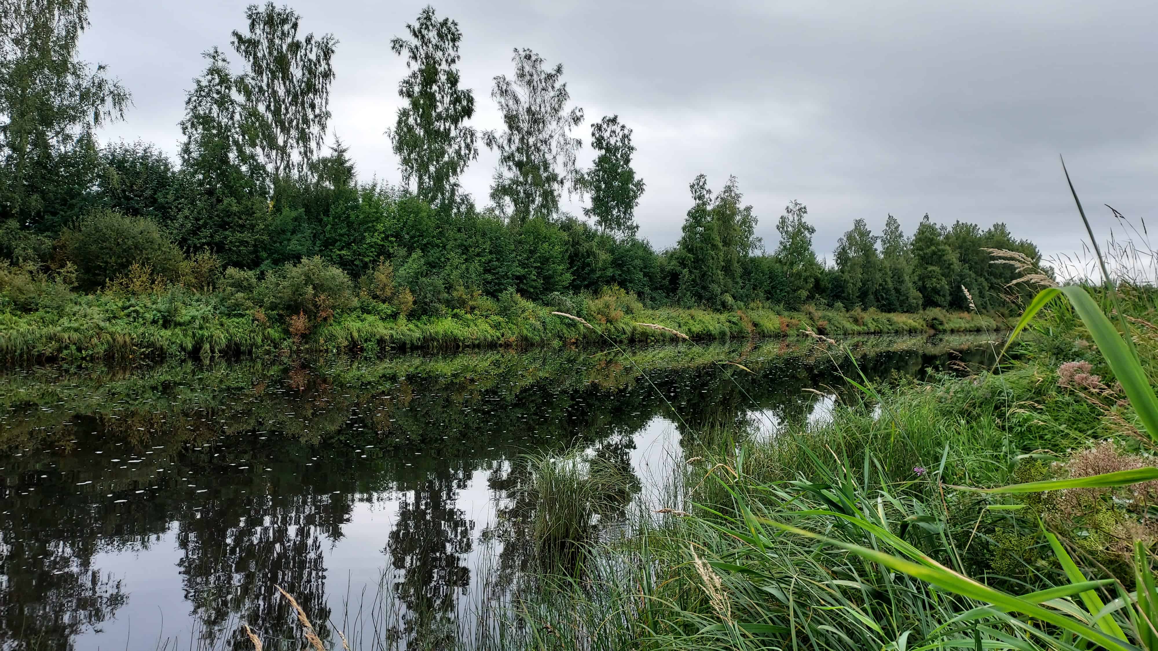
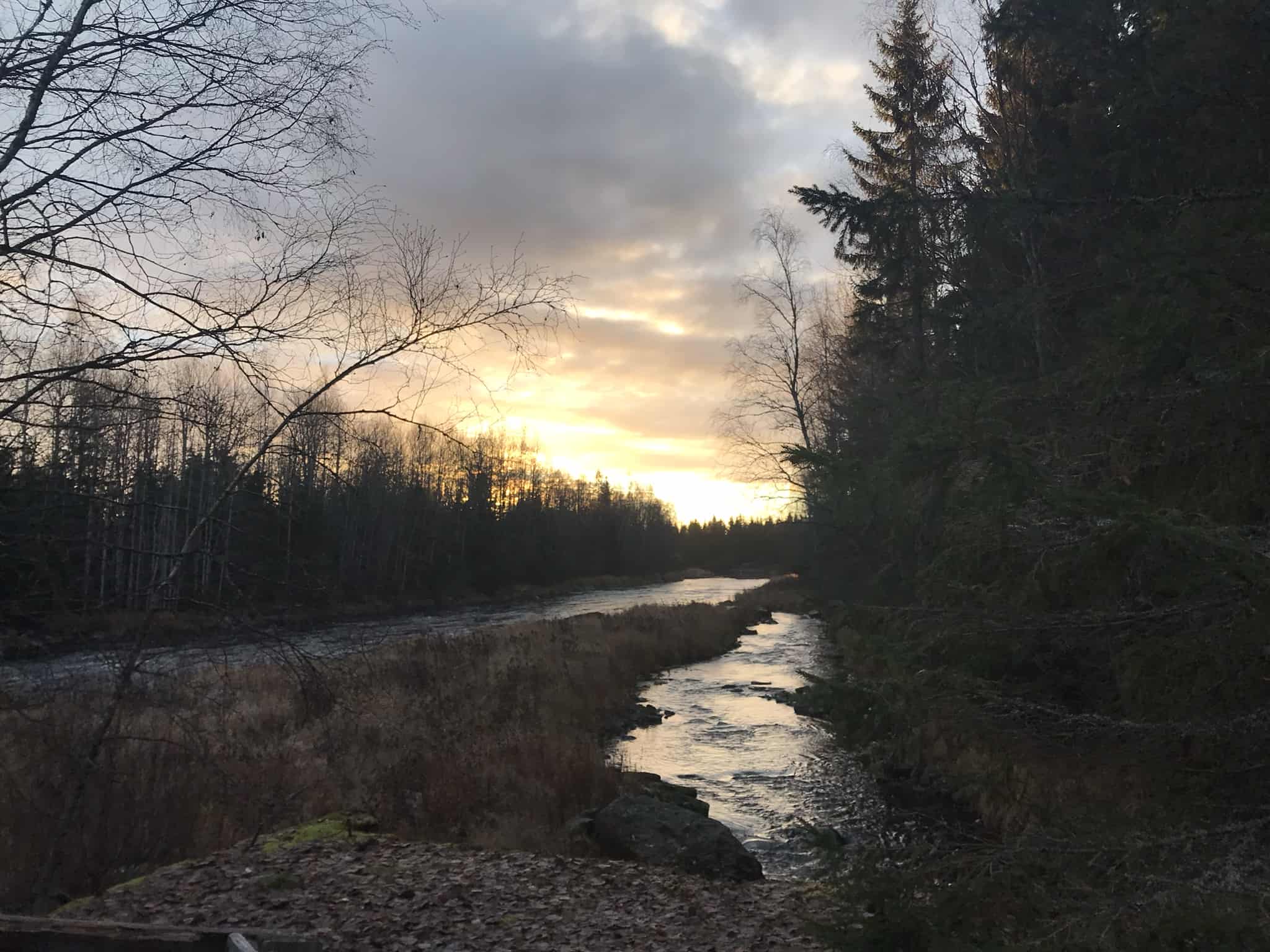
Perhonjoki hiking trail runs between Vitsari and Lahnakoski in beautiful forest and riverside landscapes. Hikers return along the same route.
From this trail, there is a connecting trail to Köykärinmäki and the hiking trails of Oivu and Sokoja.
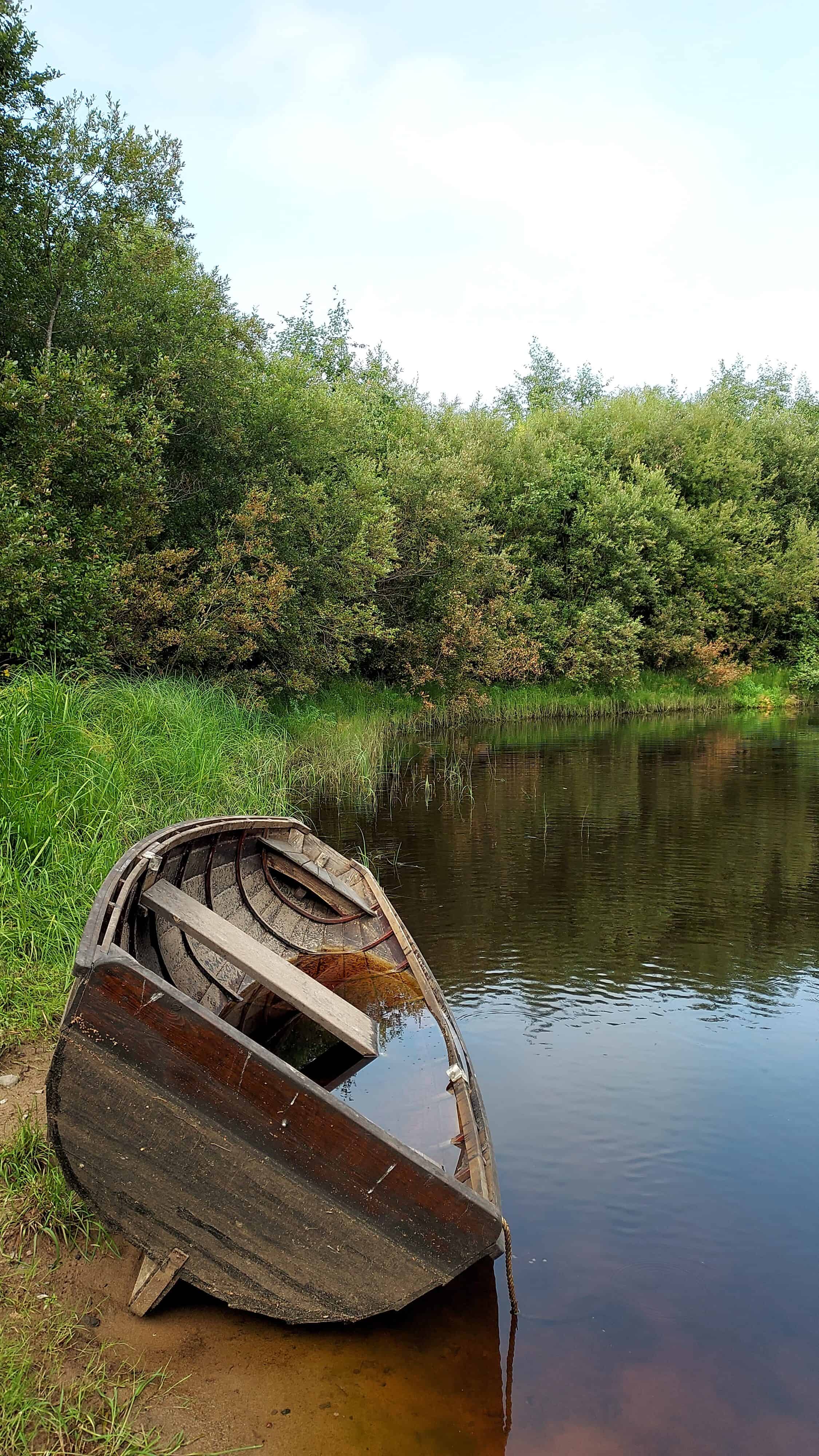
The 150-kilometre long Perhonjoki River discharges into the sea to the north of Kokkola. Historically, the River Perhonjoki has been used for transporting goods, and a tar pit has been found at Äijänsaari. In the past, Äijänsaari was an island in the River Perhonjoki. Traces of old mills have also been found along the River Perhonjoki. The ruins of an old power station are located at Isokoski. The trail is used as a ski track from Vitsari to Äijänsaari and from Köykäri connecting trail junction to Haapakoski. You can also walk from Lahnakoski to Haapakoski hut in winter, but there is no winter maintenance on this trail. Along Perhonjoki hiking trail, hikers will find Haapakoski hut, Vessi campfire site, and Isokoski and Äijänsaari huts. For paddlers, there are launching and landing sites at Lahnakoski, Vitsari, Isokoski and Äijänsaari.

CONNECTING TRAIL KÖYKÄRI-PERHONJOKI (4.5 KM/DIRECTION)
Medium difficulty/difficult trail – Some of the signposts have collapsed, and the trail is unclear in sections. In wet weather, the path is waterlogged. Visitors return along the same trail.
The trail connects with Perhonjoki hiking trail on Vittsarlandintie road. The trail leads hikers along trails and duckboards through wooded terrain. In winter, the trail serves as a cross-country ski track.
RAMSET HIKING TRAIL (7 KM)
Difficult trail – In wet weather, the trail is muddy in places. Some signposts are missing, and the trail is difficult to see in places. This circle trail runs partly along Perhonjoki hiking trail. When walked as a circle trail, the distance is 7 km. The section off Perhonjoki trail is 4.3 km in length. The section on Perhonjoki side serves as a ski track in winter. There is no winter maintenance on the trail section on Ramset side, but hikers are welcome to use it.

Services
Along the route, you will find the Haapkoski lean-to shelter, the Vessi campfire site and the Lappish kota huts of Isokoski and Äijänsaari. For canoeists, the route offers the Lahnakoski, Vitsari, Isokoski and Äijänsaari launching and landing sites.
Nature
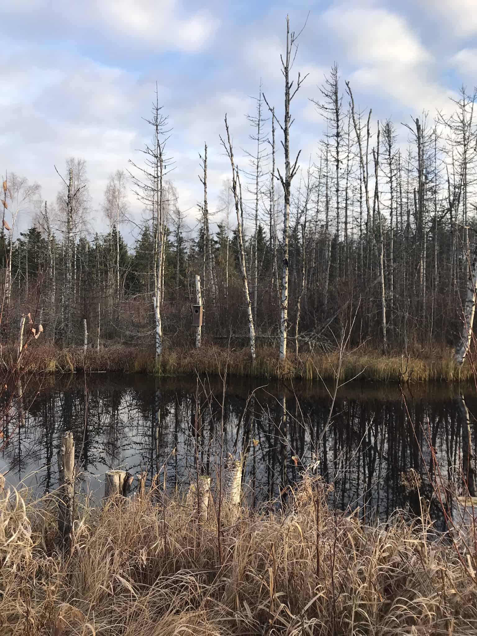
The landscape around the hiking trail consists of deciduous forests, riverbeds, lush spruce forests, aspen forests, rocky pine forests, flood meadows and wetland areas. The flood meadow of Isosaari (39 ha) is one of the protected areas in the Natura 2000 network. The area is rich in bird, mammal and fish species. Extensive ecological restoration work has been carried out in the lower reaches of River Perhonjoki to provide migratory fish species (whitefish, sea trout, Atlantic salmon, river lamprey) with better spawning grounds.

